
Environment editor Graham Lloyd together with photographer Vanessa Hunter find what was saved by the historic protests 40 years ago along Tasmania’s Franklin River.
Wild Australia: Go with the flow along the Franklin River
THIRTY years ago, environmentalists won the battle to stop construction of a dam that would have drowned one of the world’s great wildernesses.
The Franklin River, in Tasmania’s southwest, gained World Heritage listing in 1982 and “Saving the Franklin” became one of the hottest issues of the 1983 federal election. The Hawke government had vowed to halt the proposed hydro-electricity dam but it took a High Court ruling to finally prevent its construction.
Today, about 500 whitewater adventurers each year make the journey into the Franklin-Gordon Wild Rivers National Park to raft along at least part of the Franklin’s 130km course in inflatable boats, through deep valleys and over furious rapids. Devotees of wild country can take 10 days to travel the navigable length to where the Franklin meets the Gordon River, camping along the way on pebble beaches or in low rock caves.
Our five-day journey along the Franklin’s middle and lower course begins with a perilous drive on a winding gravel road over Mt McCall and a treacherous 350m trek down a steep slope to the river. Bob, our driver, says that in 1983 he was too busy working at the silver-lead-zinc mine at Rosebery to remember much of the drama about the Franklin. “It’s pretty much only since I have been doing this that I have come to appreciate it myself,” Bob says. But the signs of former conflict remain. Near the riverbank where we begin our journey, in an area cleared for a helicopter landing site, a large “No dams” sign still stands on the cracking bitumen.
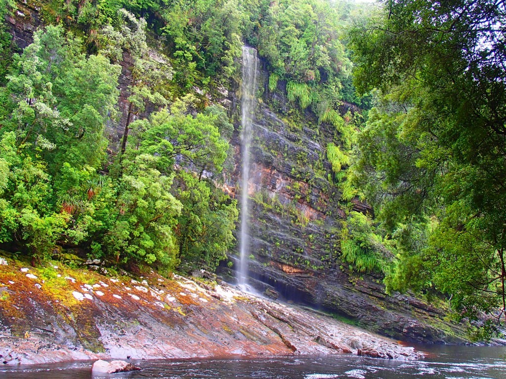
From Propsting Gorge we raft through the Trojans rapids before arriving at Rock Island Bend – the site of Peter Dombrovskis’ famous photograph, which became the enduring image of the campaign – and the Pig Trough, with a waterfall cascading into a fern-lined grotto. Along the middle section, the river is by turns deep and still, gently swirling or turbulent whitewater. In the early morning, puffs of mist rise through moss-covered old-growth stands towering against the sandstone cliffs that line the waterway. At the rapids, the pristine water turns the colour of honeyed beer. Along the way, evocative names such as Shower Cliffs, Newland Cascades, Blackman’s Bend and, more ominously, Double Fall, Big Fall, Galleon Bluff and Verandah Cliffs mark the river’s outcrops, bends and rapids.


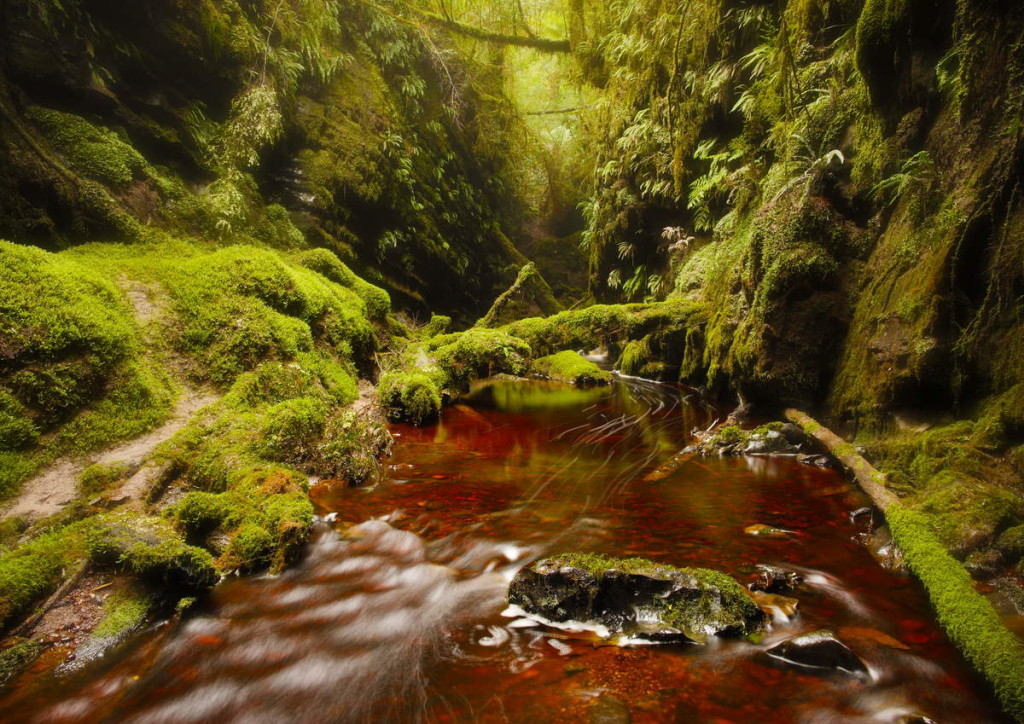
On the lower reaches, the pace slows dramatically. Long stretches of dark water are lined with limestone outcrops from which hang perfect clusters of orchids, ferns and flowers. Huon pines weep over the banks and cling to the river’s edge.
Our guide, Brett Fernon, of Water by Nature, came to the area in 1985 because he liked the idea of rafting the rapids, but says most people opt for the quieter experience of the lower river. “There’s only a certain number of people who want to come and do this sort of trip,” Fernon says of rafting. “There are people who go out on yachts on the lower river. They used to come up the Franklin but they can’t any more because of erosion on the banks.”
Had the dam been built, all this would have been sunk beneath a placid lake. The carved stone banks patched with snow-white lichen would have been lost, along with the untouched rainforest and the limestone caves that archaeologists say sheltered the ancient people during the last ice age, 10,000 to 20,000 years ago.
- Graham Lloyd
- The Australian
- April 13, 2013 12:00AM